
I’ve been fortunate to grow up within a short distance of the coast, and have since moved to Hampshire, which has some of the most beautiful forested coastline I’ve found. Both the Dorset and Hampshire coastline is filled with history, another love of mine, and so, I’ve been able to mix it with my love of the outdoors and go on some beautiful walks, in all weathers!
BUCKLER’S HARD TO BEAULIEU – 4.5 MILES (THERE & BACK)
Bucklers Hard is a beautiful old shipbuilding village on the Beaulieu River. Quiet, serene, idyllic…
A number of famous Royal Navy ships were built here in the 18th century. I adore history, so for me it’s one of my favourite spots. There’s a great little museum here as well, all about the village and its maritime history. However, if you just want some beautiful views, it has you covered!

Heading out of the museum you wander down past the old workers cottages.
Closer to the water’s edge, you can see the remains of the ship launches/docks. You turn left and head down to the signposted route to Beaulieu.
You can’t miss the trail, it’s signposted for the entire length and you can either take the riverside walk, past the marina and Baileys Hard or walk through the forest on the gravel cycle path. The riverside walk is not suitable for bikes, pushchairs or wheelchairs, but you can enjoy the woodland scenery on the gravel path. If you walk the riverside route, be aware that if it’s rained, it can be somewhat muddy and when there’s a high tide, sometimes the path has a very shallow layer of water over it (for about 10 metres).
The path eventually comes out right in the centre of Beaulieu, a beautiful little village with some lovely shops and cafes, even a vintage car showroom, if that’s your thing. Alternatively, you could wander to the famous Beaulieu Motor Museum. To return to Buckler’s Hard, you head back along the same path. Of course this route can be done in reverse if you’re based in Beaulieu, and I cannot recommend it enough. It’s my go-to New Forest walk, year round, but there’s something about crisp winter mornings that make it look pretty magical…

TYNEHAM TO LULWORTH COVE – 10 MILES (LOOP)
This walk starts and finishes at the village of Tyneham, a ‘ghost village’ on the Lulworth Ranges in Dorset and one of the only parishes in the UK with a population of zero… In 1943, the land (including the village) was requisitioned for military use, to be used as firing ranges. The people of Tyneham left their houses, intending to be able to move back, but never did.
From Tyneham, you walk out of the village towards Worbarrow Bay.

Out of Worbarrow, you follow the SW Coast Path markers up the hill. This section is steep, and on a wet day can turn very slippery. At the top of this section is Flowers Barrow, an iron age hillfort built over 2500 years ago. You can still see hut circles and some of the ramparts. From Flowers Barrow you follow the Coast Path markers. Don’t worry if you can’t spot them, there are also yellow posts all along this route which you need to stay inside anyway, due to unexploded ordnance left over by the army. Walk over the top of Flowers Barrow and you’ll begin to head down the hill to Arish Mell. Local legend says that one foggy night Roman legionnaires were making their way back to camp across the cliffs at Arish Mell and fell to their deaths. It’s rumoured when the night turns foggy & if you listen very carefully, you are able to make out the clang of armour and their desperate cries.
If, however, you’re there in daylight, it’s worth noting that you can’t go on to the beach due to unexploded ordnance. Arish Mell is also the site where the pipeline from Winfrith Nuclear site used to come out into the sea.
From Arish Mell, you head back up the cliffs, it’s another steep climb but there are steps (of sorts) if you choose to use them. I recommend you do, not least so you can finish this walk, but also so that you can see the beautiful views along the coast in both directions! Eventually the coast path splits, follow it to the left and you’ll head down to Mupe Bay A beautiful spot in summer, and due to its inaccessibility often a lot less busy than other beaches along the coast…

From here you walk along the coast path, above a smuggler’s cave (really!), past the fossil forest and a lookout tower. You’ll eventually pass through the gate that takes you out of the Lulworth Ranges.
Keep following it and you’ll reach Lulworth Cove. This walk is a great one, but ensure that it’s a weekend where the Lulworth Ranges are open before heading down there! You can find this walk online at OS Maps if you want to follow it – here.
From Lulworth, if you want to continue on, there’s a beautiful walk up over the hill at the far end of the car park, which will bring you out above Man O’War Cove and the famous Durdle Door!

AFTER SOMETHING LESS HILLY?
Then head to Portland Bill. From the car park, you can walk around the headland, near the lighthouse, see the famous Pulpit Rock or watch the Portland tidal race. The walk along the coast path is fantastic, and definitely bracing on a breezy day!

There are no hills, it’s a beautiful walk on a sunny day, especially if the wind is up as the waves crashing on the rocks is an amazing sight!
LEPE BEACH
The most famous of the New Forest’s beaches for more than one reason. It affords stunning views across the Solent to the Isle of Wight, it backs on to beautiful forest and it’s home to some of the most important WWII history on the south coast.
Thousands of troops along with their equipment and supplies left Lepe Beach as part of Operation Overlord, sailing to Normandy for the D-Day Landings.

If you walk one way along the beach, in the direction of Portsmouth (you can even see the Spinnaker Tower from here), you can still see where the ‘Mulberry Harbours’ were constructed and launched.
If you walk the other way, along the seafront towards the cottages you come to another beautiful stretch of beach to wander.
This isn’t a set walk, but if you’re in the New Forest, I urge you to visit Lepe, as it is simply beautiful. It’s also shallow enough for a paddle or a swim if you’re feeling brave!
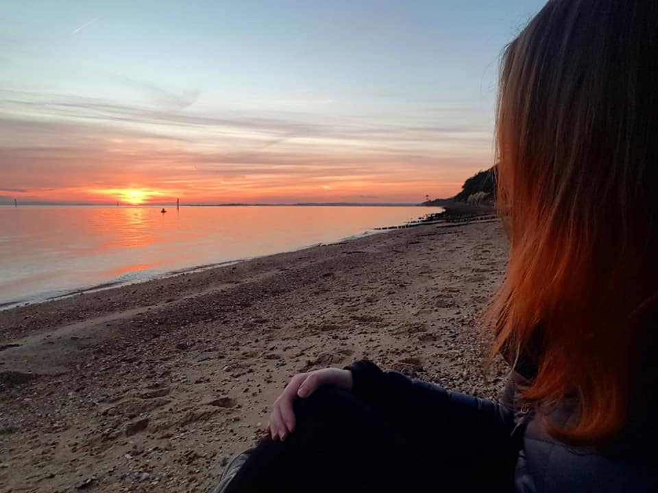
And the sunsets? Well, I’ll let them speak for themselves…

CHAPMAN’S POOL – 5 MILES (LOOP)
The best place to start and end this walk is in the village car park in Worth Matravers.
Turn right from the car park and head in to the village, the famous Square and Compass Pub will be on your left. When you reach the village pond, follow the lane below it past a row of very pretty terraced houses.
Bear slightly to the left and the path is fairly obvious, so follow it until you reach a gate and then head through the field. You’ll reach another gate, pass through this and continue on the gravel track past Winspit Cottage. The path from here is easy to follow and takes you right down to the sea and quarry.

This quarry has some fantastic rock climbing… It’s also not a bad wild camping spot, if you’re so inclined, but remember to arrive late, depart early and leave no trace!

In my case, I left pretty much as soon as the sun came up!
Just before the quarry, there is a SW Coast Path Marker for St Aldhelm’s Head, so you can’t miss it! After around 1 mile you will reach another fork in the path. At this point, you can either head left, down in to a dip in the cliff, with some old bunkers and building remnants, or up and across the top, past the monument to WWII radar development.
From St Aldhelm’s Head, there are 2 options.
For the more sedate walk (avoiding the aptly named by my friend Steph ‘devil’s staircase’) fork right, towards the coastguard cottages and follow the flatter path around to Chapman’s Pool.
For the more adventurous route, head out along the cliff path once more, past more benches with stunning views across the Purbeck coastline until you reach the steps. They are fairly steep and will need to be taken one at a time. The steps are quite muddy, so exercise caution in wet weather.

Continue following the path, cross a stile and follow the rocky path around in to another field, where you will have the most amazing view of Chapman’s Pool from the Royal Marines Memorial. Cross another stile and follow the path through a field over to a farm. On the road, it’s signposted Worth ¾. Pass the car park at Renscombe Farm and turn right to head along the road to Worth Matravers with the pond on your right, back to the car park.
