
I’m fortunate to have grown up surrounded by maps and spending most of my time in the great outdoors. From treasure maps to OS Maps as I grew up, joined the Sea Cadets and spent most weekends taking part in adventure and expedition training on the moors, as well as my Duke of Edinburgh’s Award. When you leave your house, even to walk to your local shop, it’s likely that you’ve thought of a route in your head to take, so why would it be any different out on the hills, where actually, it’s of the utmost importance.
As it’s National Map Reading Week I thought I’d share my top tips for planning a route!
So grab your map and a pencil!

Map
Make sure you pick the map you’re going to use based on where you’re heading.
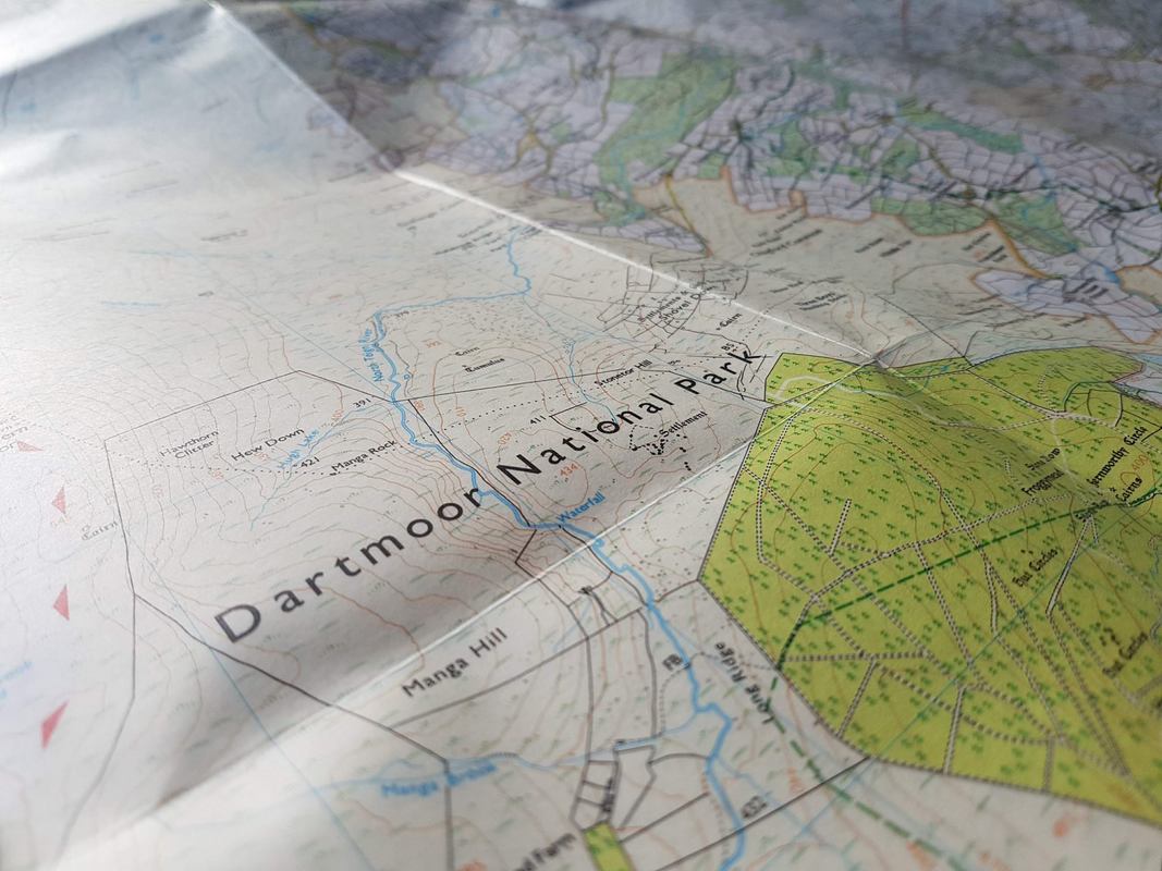
I tend to go for the OS Explorer 1:25 000 scale maps, as they show the most detail.
The OS Landranger 1:50,000 scale maps are handy if you’re following larger trails though, such as the South Downs Way.

Route Length
You probably know where you want your walk to start and what length of time you want to walk for.
Most people average a speed of around 3mph when walking (assuming that it’s a nice gentle bimble and not a scramble up Tryfan or similar). If you’re in the hills and mountains, it’s wise to use Naismith’s Rule- for every 100m of elevation gain, add 10 minutes to your time.
Make sure you factor in time for lunch/drink/ blogging photo stops too…
(No? Just me?)
Route?
Want a nice easy route? Then follow the marked paths 🙂
Green diamonds – National trails
Green dotted lines – Footpaths with rights of way.
Black dotted lines – Paths that may/may not be a right of way.
Outside of the national parks, most walks should follow routes with public right of way.
Within the national parks, you’re pretty much free to walk wherever you want.
To plan a route on a paper map, I will always use pencil and mark my waypoints…

I always make sure that there are enough waypoints to keep me on track now, moreso if it’s not somewhere with footpaths (I’m looking at you Dartmoor).Simply thinking “I need to go 20 miles in this direction” and hoping you’ll get there with no deviations is not the way to go. You only need to be a couple of degrees out at your start point and after those 20 miles you won’t be where you want to be, at all.
I think of it like driving a car.
What turns do I take?
When I reach this point, I cross over here.
If I’ve not gone past XYZ, I wonder why and quickly realise something must have gone wrong.
Once I’ve worked out the route and bearings I’m taking I will then measure the distance with a piece of string (or grass if I’m out and about – the cadet in me). Remember that distance over ground will always be slightly further than on the map.

Ok, you’re ready to go.
You have your route planned.
You know where you’re heading.
It’s time to grab your bag.
What you take will obviously vary hugely based on distance, time of year, whether you’re camping overnight and the route you’ve planned.
I’m a firm believer that you should always take water with you and wear layers/take a waterproof no matter the distance. Longer walk? You’ll need to factor in food, a torch, a first aid kit and a bivvy bag or emergency blanket/bag (better to be safe than sorry) Overnight? Make sure you have everything to keep you safe and warm! Don’t make life difficult for yourself and pack everything but the kitchen sink. Chances are you won’t use half the comforts you think you need! Pack just the necessities…
This does of course include jelly babies.
Always, always take a map and compass and know how to use them.
It’s fine to use a phone and GPS as your main navigation system if you’re using OS Maps for example, but batteries can die and the paper version will rarely let you down!

Make sure before you leave you check the weather and that your route will still be safe to follow.
If it’s been pouring down with rain, that stream you want to cross may be flowing a lot faster and deeper.
Blowing a hoolie? That scramble along the exposed ridge won’t be the most enjoyable, or safe.
Walking the coast path? Be wary of tides.
For me, the biggest thing to check when I’m Dartmoor bound is that they’re not conducting live firing up on Okehampton Ranges.
Leave your planned route and expected time back with a friend or in your car (I know some people feel this invites burglars to break in to their car, but this is rare) and it’s always good a good start point if you’re not home in time due to injury or similar.
And of course, the most important thing is to get out and have fun! Happy walking!